
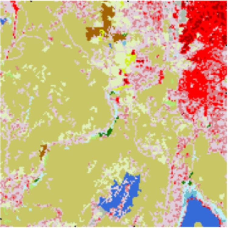
Land Cover Classification at the Wildland Urban Interface Using High-Resolution Satellite Imagery and Deep Learning
Land cover classification analysis from satellite imagery is important for monitoring change in ecosystems and urban growth over time. However, the land cover classifications that are widely available in the United States are generated at a low spatial and temporal resolution, so that the spatial distribution between vegetation and urban areas in the wildland urban interface is difficult to measure. High spatial and temporal resolution analysis is essential for understanding and managing changing environments in these regions.


")