

Assessing the Rohingya Displacement Crisis Using Satellite Data and Convolutional Neural Networks
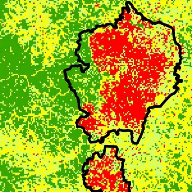
Through the benefits of machine learning, we could quantify an increase in built-up area from 0.4 km in January 2016 to 9.5 km in February 2018 replacing primarily shrub and farmland. We are further able to detect a densification and consequently 'browning' of the refugee camp over time and display its heterogeneous structure. The developed method is scalable, and applicable to rapidly expanding settlements across various regions. Hence, in the future, our method could be applied immediately to emerging refugee camps worldwide where it has the potential to help with the distribution of humanitarian aid in a timely manner and to assess the environmental damage caused by rapidly expanding settlements.
Products

